Difference between revisions of "File:Simsoniya topo.jpg"
From Inembleth
(Topographical map of the terrain surrounding the Simsoniya Monastery.) |
|||
| Line 1: | Line 1: | ||
| − | Topographical map of the terrain surrounding the Simsoniya Monastery. | + | Topographical map of the terrain surrounding the [[Simsoniya Monastery]]. |
| + | |||
| + | [[Category:Avestralinn Campaign]] | ||
Latest revision as of 11:11, 23 February 2009
Topographical map of the terrain surrounding the Simsoniya Monastery.
File history
Click on a date/time to view the file as it appeared at that time.
| Date/Time | Thumbnail | Dimensions | User | Comment | |
|---|---|---|---|---|---|
| current | 22:07, 30 January 2009 | 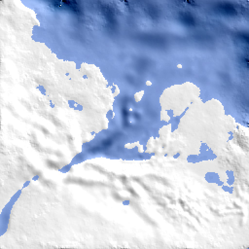 | 512 × 512 (91 KB) | Kriona (Talk | contribs) | Topographical map of the terrain surrounding the Simsoniya Monastery. |
- You cannot overwrite this file.
File usage
There are no pages that link to this file.